
CAdreflow
Baipatra
A software that has the potential to replace WaterCAD pipe flow modeling and analysis software.
{Ad : Click me for a surprise}

PODCAST : How SUNDERBAN TIGERS SURVIVE ?
Baipatra How do the Tigers in the Sunderbans drink Sweet Water?
{Ad : Click me for a surprise}

PALMLEAVES TO PLATE ?
Baipatra
Tree to Trencher: How to create a full-grown Sustainable Development Organization with the help of Areca Leaf or Coconut Shell?
{Ad : Click me for a surprise}

What is next in AI & ML Modeling of Water Resource Development?
HydroGeekAI & ML modeling application is now widespread in water resource development studies. But due to the uncertainty in water parameters, much more innovation is required for their practical application
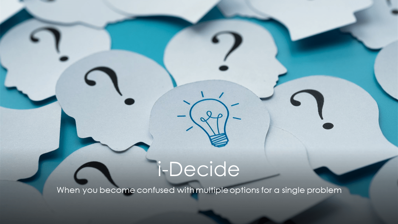
iDecide
Innovate For Sustainability
If you are confused with multiple options for a single decision then iDecide can help you.
Case Study 1How to select a water filter to purify the water you drink?
Case Study 2How to select the best hydrologic software for Free ??
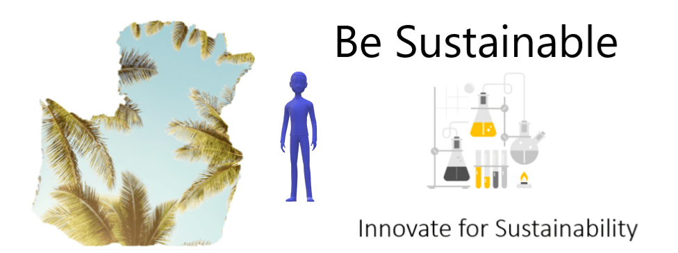
BeSustainable
Innovate S
Smart Use of Water and Electricity for Reducing Climate change impact: How?
Be Sustainable has two indicators that were created to monitor and represent the level of water and electricity consumption in a household on a daily basis.